Our Technology
Advanced AI and satellite connectivity powering the future of maritime autonomy
Starlink-Powered Connectivity
Our system leverages SpaceX's Starlink maritime constellation to provide continuous, high-bandwidth connectivity anywhere in the world. Unlike traditional satellite systems with high latency, Starlink enables real-time remote control and monitoring.
With throughput exceeding 200 Mbps and latency under 500ms, your remote operators have the same responsiveness as if they were standing on the bridge.
- Global coverage including polar regions
- Redundant connectivity with automatic failover
- HD video streaming from multiple cameras
- Real-time sensor data transmission

AI Navigation System
Our proprietary AI handles vessel navigation using a fusion of data from 360-degree cameras, GPS, and AIS. The system continuously monitors the environment, predicts collision risks, and executes precise routing.
The AI learns from every voyage, improving its decision-making while always maintaining safe operating parameters set by human supervisors.
- COLREGS-compliant navigation
- Multi-sensor fusion for 360-degree awareness
- Predictive collision monitoring
- Robotic routing precision
Supervised Autonomy
Unlike fully autonomous systems that remove human judgment, Meltemi implements supervised autonomy. The AI handles routine operations while human operators maintain oversight and handle exceptions.
Set waypoints and let the AI navigate, or take full manual control instantly when needed. You decide the level of autonomy for each voyage and situation.
- One-click takeover for remote operators
- Configurable autonomy levels per voyage
- AI requests human input for edge cases
- Complete audit trail of all decisions

Sensor Suite
Comprehensive situational awareness through redundant sensor systems
Marine Radar
On-board radar providing all-weather detection of vessels, obstacles, and coastlines up to 48 nautical miles away.
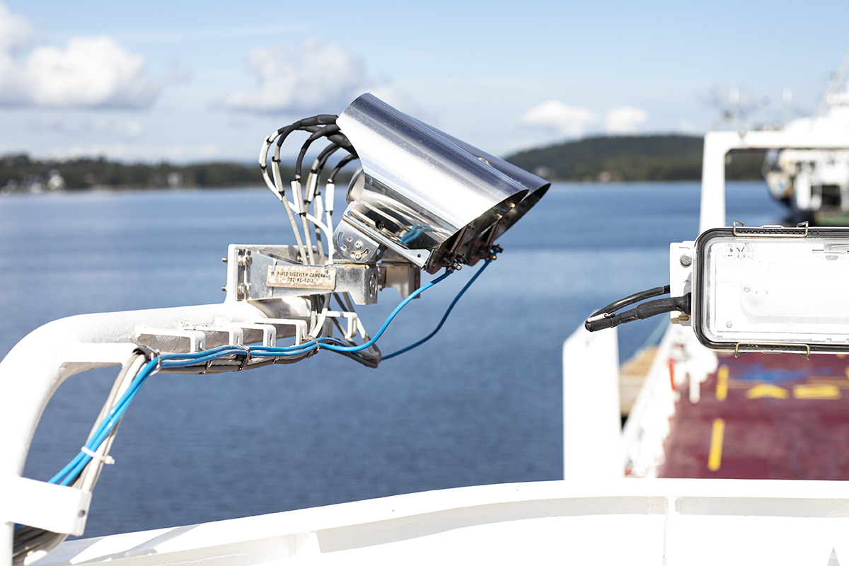
Camera Array
360-degree HD cameras with low-light capability for visual monitoring and AI object recognition.
AIS Integration
Class A AIS transponder for vessel identification, receiving traffic data from nearby ships and shore stations.
GPS/GNSS
Multi-constellation positioning with RTK correction for centimeter-level accuracy during precision maneuvers.
Weather Sensors
Onboard wind, temperature, and sea state sensors integrated with weather API data for optimal routing.
See Our Technology in Action
Schedule a demo to see how Meltemi can transform your vessels
Request Demo